The Antelope Island White Rock Loop is a popular trail on Antelope Island since it is one of the least technical trails found on Antelope Island in Northern Utah.
Tail Map
Total distance: 6.27 mi
Max elevation: 4892 ft
Min elevation: 4252 ft
Total climbing: 606 ft
Total descent: -1015 ft
Max elevation: 4892 ft
Min elevation: 4252 ft
Total climbing: 606 ft
Total descent: -1015 ft
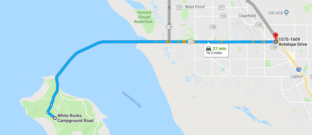
Directions to Trailhead
- From I-15 take the Layton Antelope Drive exit and turn west
- Continue driving west until you reach the causeway. there is a fee to enter the Island
- Drive along the causeway (you may want to hold your breath for the first mile or so) until you reach the island
- Take the left fork when you reach the island
- Take the first left
- Turn right on White Rocks Loop Road
- Turn right on White Rocks Campground Road
- Trailhead parking is immediately on the left
- To get to the trail, cross White Rocks Loop Road