The Alexander Creek Trail is located in Parley’s Canyon near Mountain Dell golf course and rides to the Summit. This trail can be done as a downhill only with a car shuttle at the trailhead by the golf course and then drive to the top of the trail at the summit. If climbing is your bag, then you can start at the golf course and tackle the 5-mile 1500 foot climb and then turn around for the 5-miles of fun downhill you have earned.
the trail is pretty smooth with minor technical aspects to it. Some of the trail is in a canyon away from I-80 so you won’t see or hear the cars.
Trail Map
Max elevation: 7032 ft
Min elevation: 5514 ft
Total climbing: 185 ft
Total descent: -1695 ft
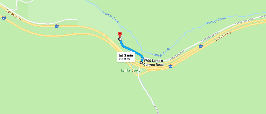
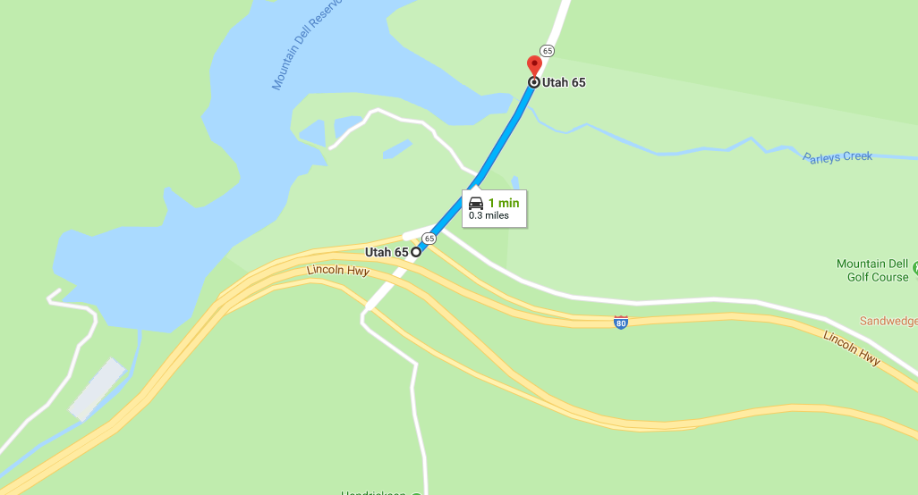
directions to Alexander Creek Trailhead
If you want to start from the bottom or park a car shuttle at the bottom:
From I-80 take the State Road 65 exit for the golf course, go North on Utah 65 and look for the trailhead on the right.
If you want to start from the top for a downhill only run:
From I-80 take the exit at the summit, turn north and look for the trailhead on the left.